These are two linked trails in Scotland that form part of a connected network. They are local to us, and we have hiked them as a series of day hikes throughout the years and seasons.
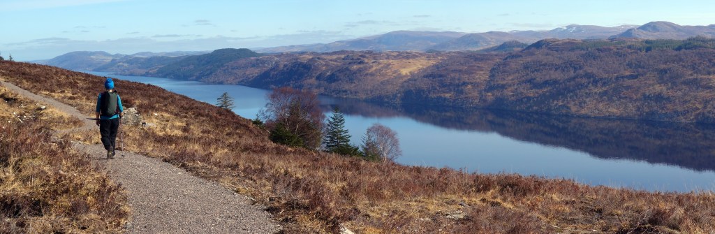
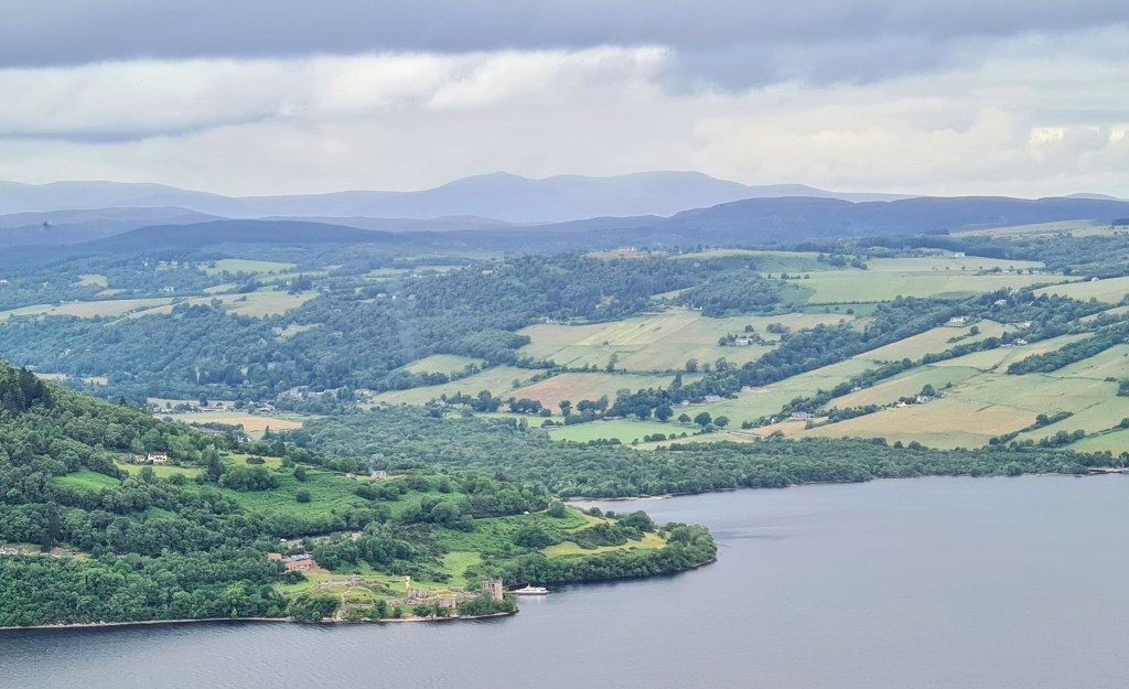
The Great Glen Way provides a fairly straightforward and popular 118km (74 mile) hike between Fort William and Inverness. It travels along an iconic glen that slices north east through Scotland with a series of waterways including Loch Ness.
The South Loch Ness Trail is a 55km (34 miles) hike linked to the GGW, in effect acting as a variant on the northern half from Fort Augustus to Inverness. It is less busy but is also easily navigated on good trails.
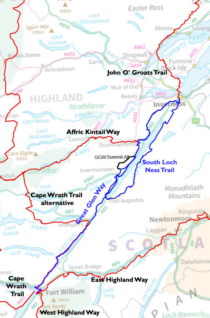
The northern part of the GGW could be hiked together with the SLNT as a loop around Loch Ness -the Loch Ness 360 at 129km (80 miles).
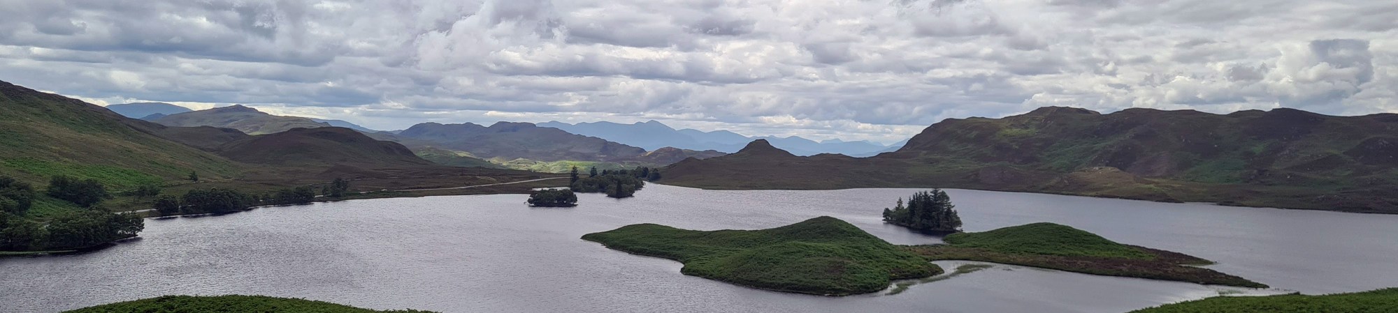
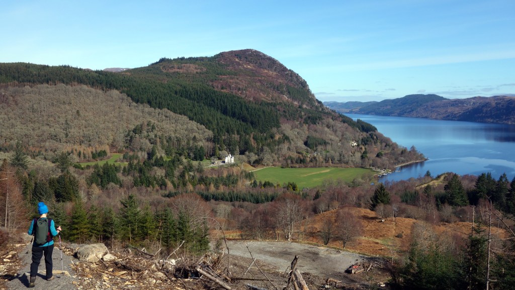
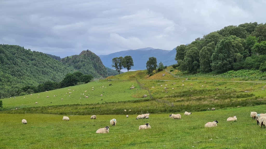
The scenery traveled through is a mix of forestry (managed and natural), fields grazed by sheep/cattle and lochsides. As the trails stay relatively low (maximum of 450m on the SLNT) and are well made and dry in the most part, they can be hiked enjoyably for most of the year, even in winter – if you can handle the short days!
It should be said that both are also possible by mountain bike or gravel bike, with some short pushes needed on the SLNT.
Great Glen Way Good resources are the Great Glen Way Walkhighlands website, Cicerone guidebook and Harvey Map. You can either stay in accommodation along the way as described in the guides above or can wild camp. I recommend the two high route options (well I would of course!) between Fort Augustus and Drumnadrochit which provide some nice views of Loch Ness from above and spend more time above the forestry.
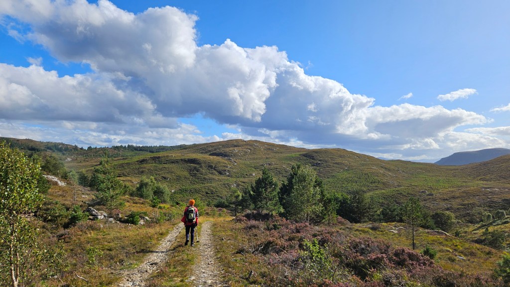
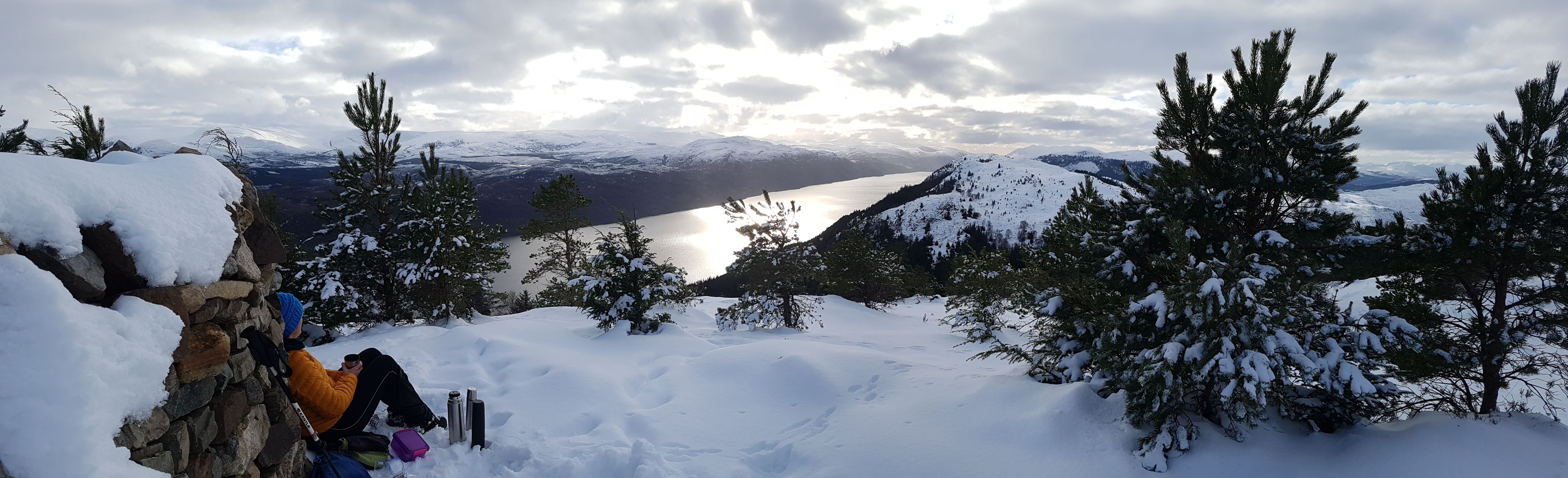
We also hiked a Great Glen Way summit alternative that provided better views with a bit more adventure. This splits off from the high trail on the section between Invermoriston and Drumnodrochit.
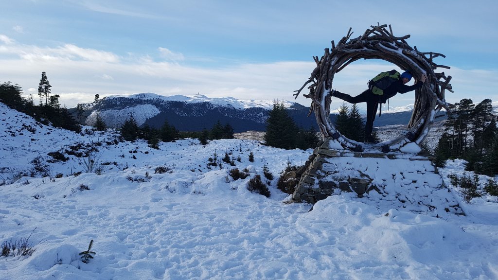
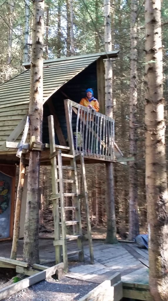
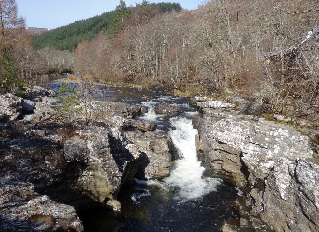
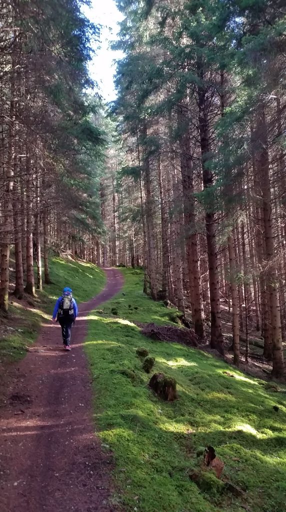
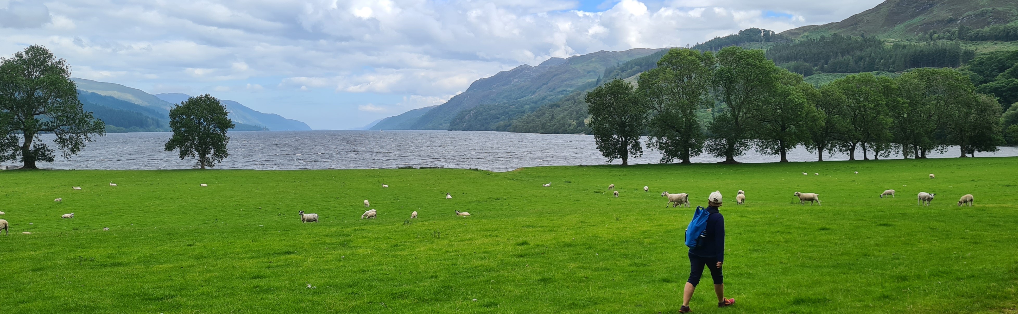
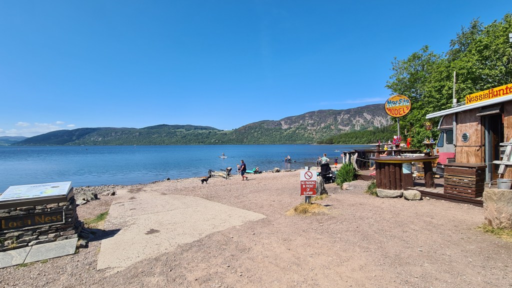
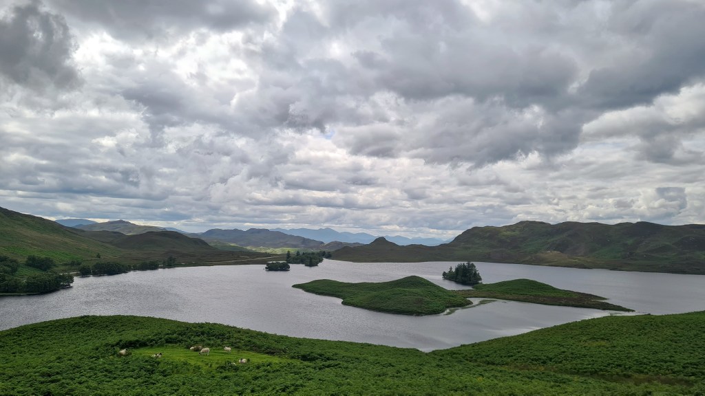
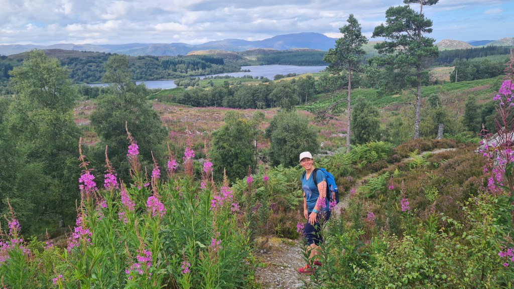
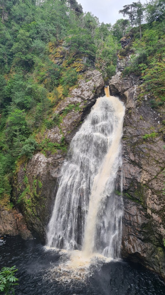
Here are some pictures from our hikes on the Great Glen Way…

South Loch Ness Trail Again Walkhighlands website and Harvey Maps have lots of details to help hike the trail.
I don’t recall seeing any long distance hikers on the trail and very few other hikers away from the small towns. The SLNT has fewer towns along the way than the equivalent GGW section north of Fort Augustus. There is a shop and café at Foyers and cafes and pub at Dores before reaching Inverness. I thought there was a bit more variety than on the GGW with more views to Loch Ness, but both trails provide a similar experience through relatively low level scenery. Again wild camping is possible along the way, and some accommodation at Whitebridge, Foyers and Dores.


Great Glen Way- summit alternative
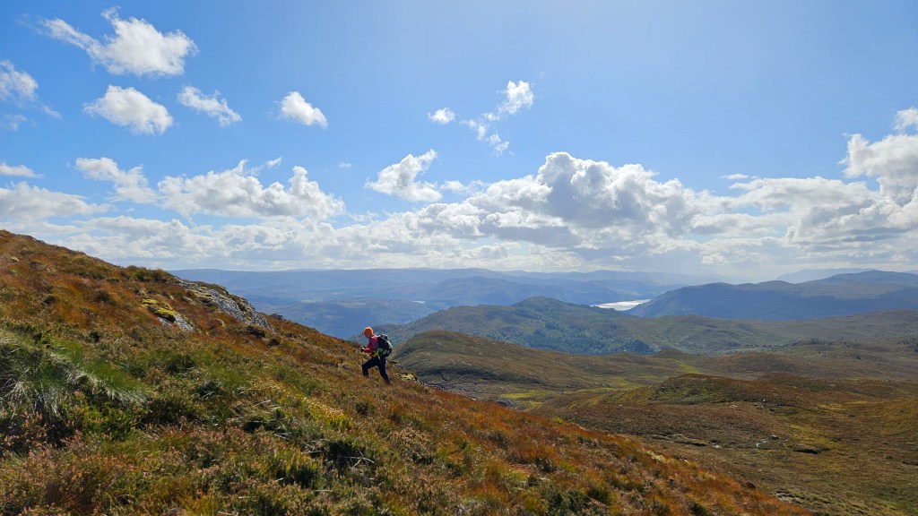
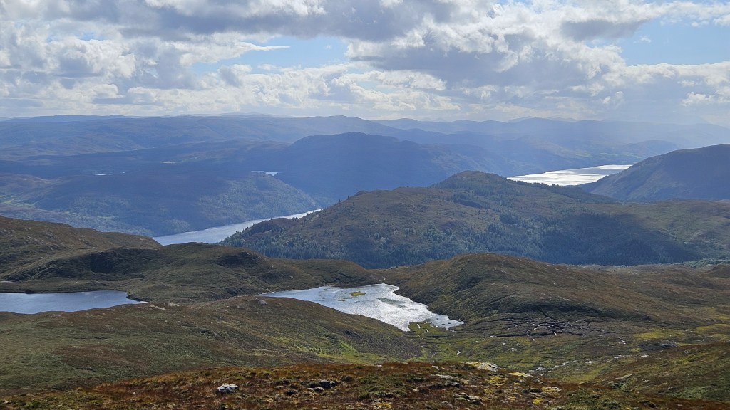
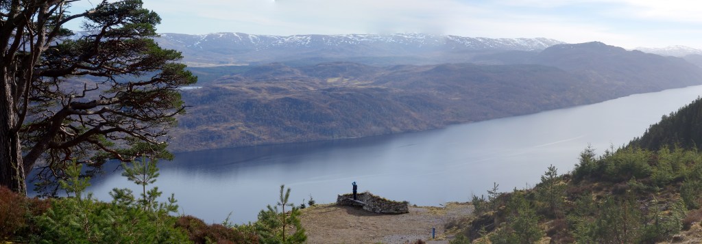
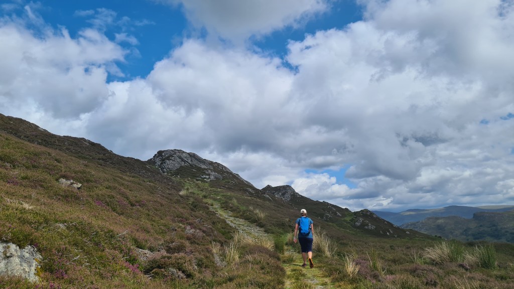
This was a chance to climb up above the Great Glen Way high trail for better panoramic views of Loch Ness and the mountains to the west.
An overview of the route is marked in purple in the map below.
From the south, the route consists of; jeep track, cross country to a summit, then a hill trail (that can be boggy) back north east to the Great Glen Way. So it does require more navigation skills than either of the standard trails.
Whilst hiking the route we found an old running race marker and now realise that it’s Day 1 of an ultrarunning event. The link here has details of Ultra X with a GPX for interest. Walkhighlands also has a route description for the northern section as a ‘there and back’ hillwalk.
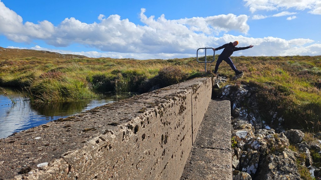
We enjoyed it, but its definately muddier than the standard routes!