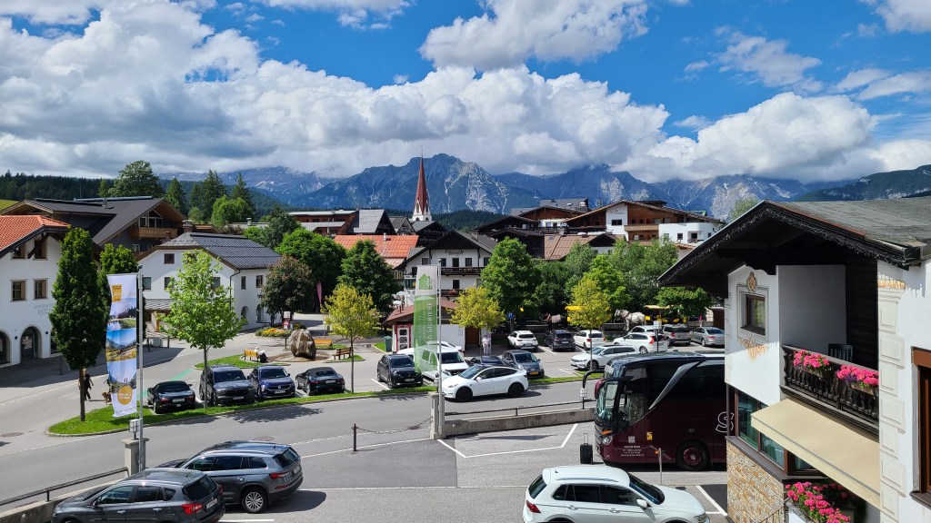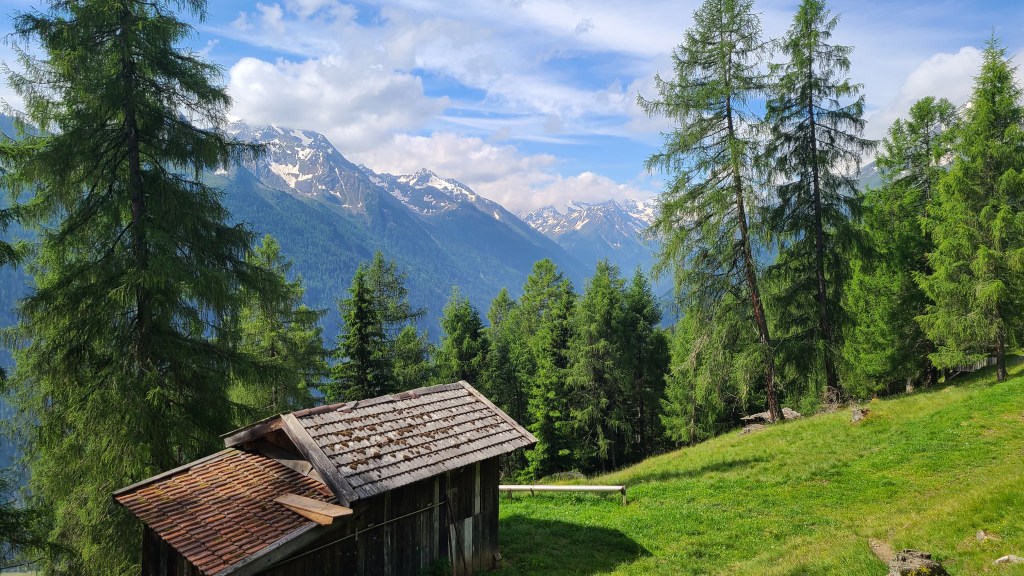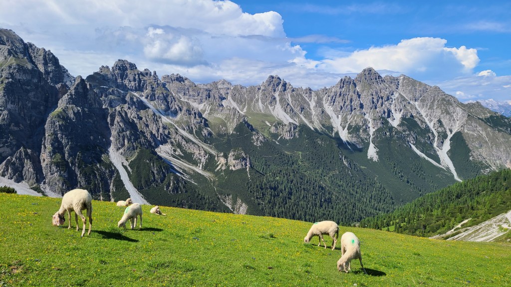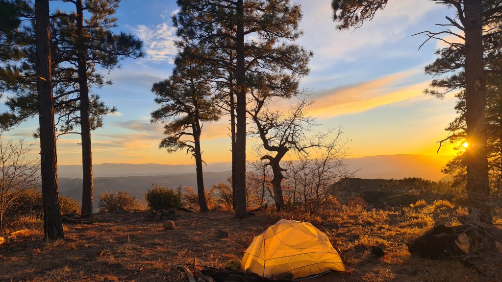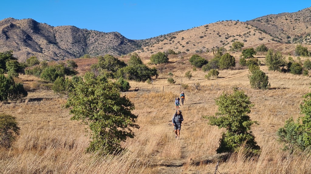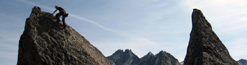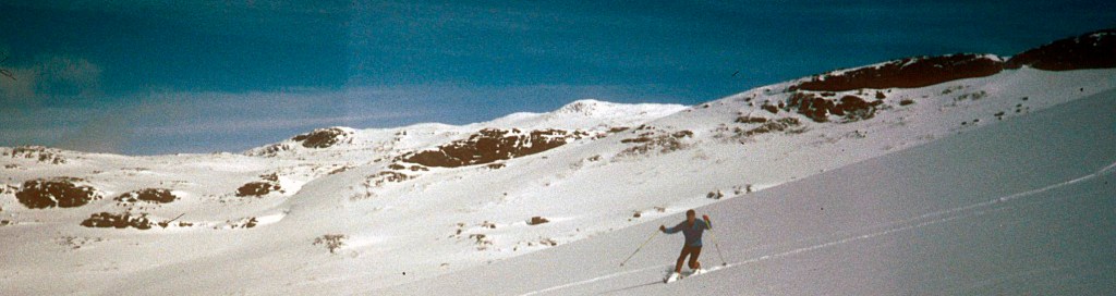
These are three well marked trails in the north east of Scotland providing easy walking at low levels and that are mostly doable all year round. Combining the trails creates a loop called the Moray Way. This page has an overview of each with some pictures from our hikes.

In addition there are also short sections on sea kayaking along the Moray Coast and the ‘Moray Link’, an unmarked route that links the town of Forres to Inverness and thus connecting these trails up with the John O’ Groats Trail and Great Glen Way/South Loch Ness Trail.
Moray Coast Trail 74km
Speyside Way 138km
Dava Way 38km
Moray Link about 60km
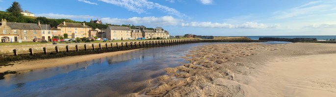
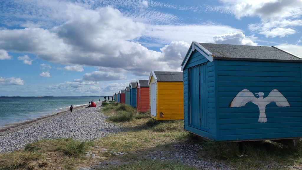
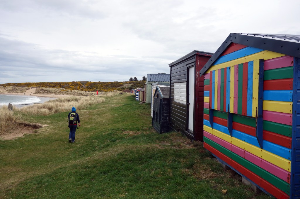
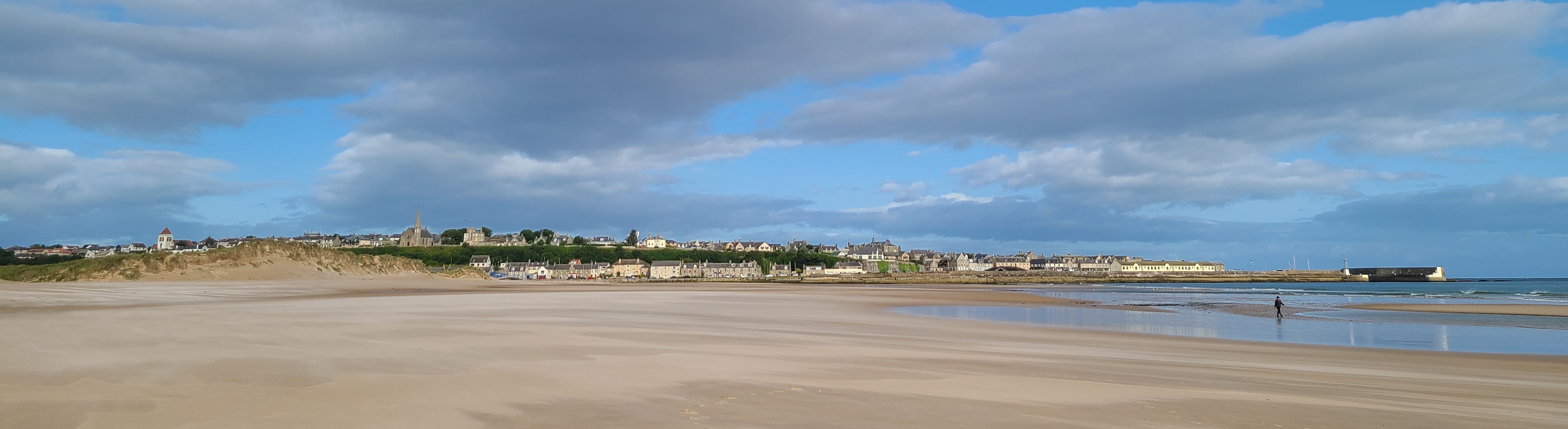
Moray Coast Trail 74km
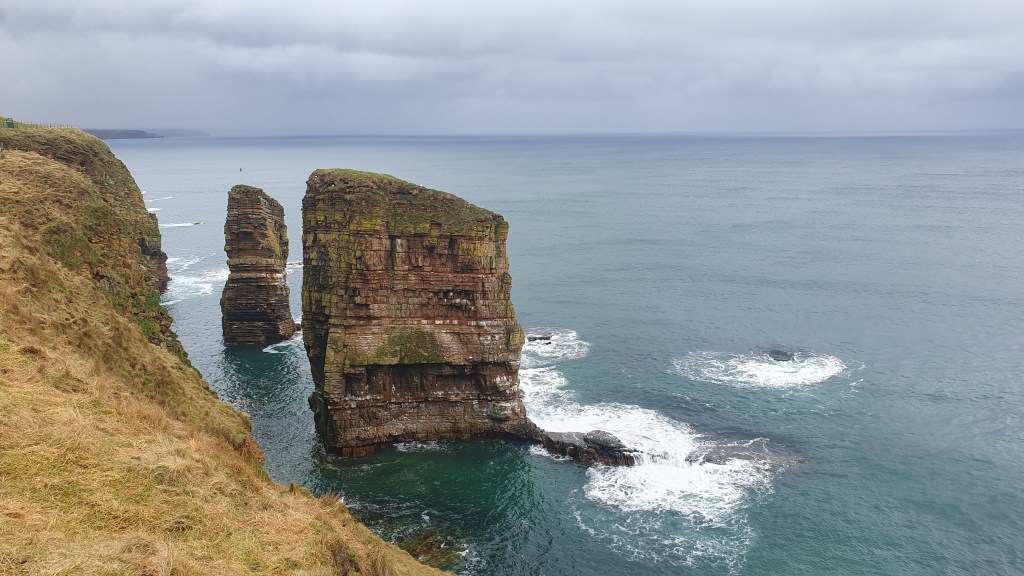
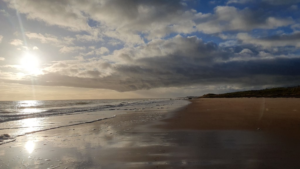
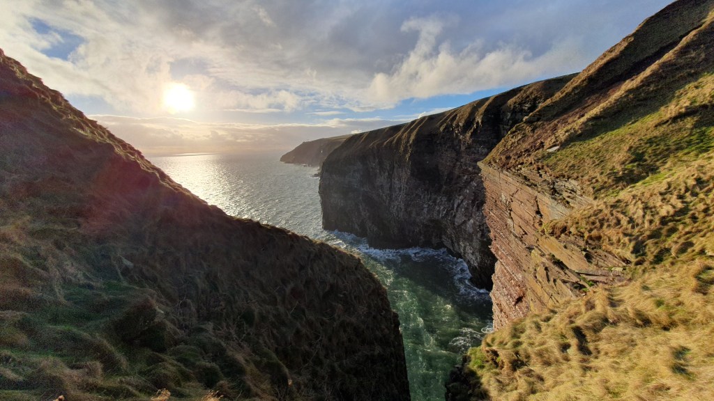
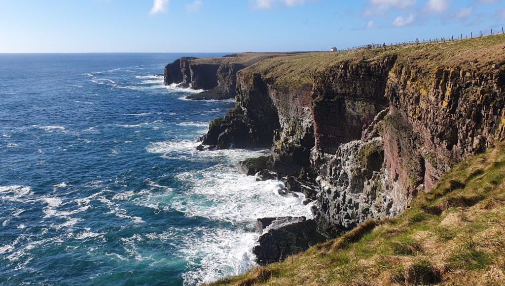
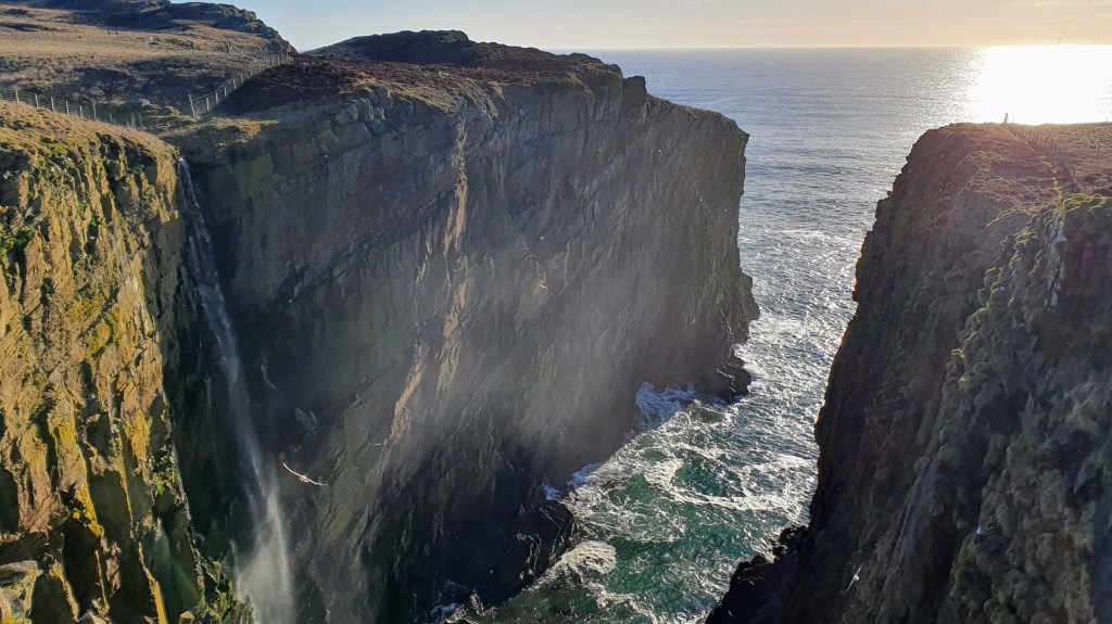
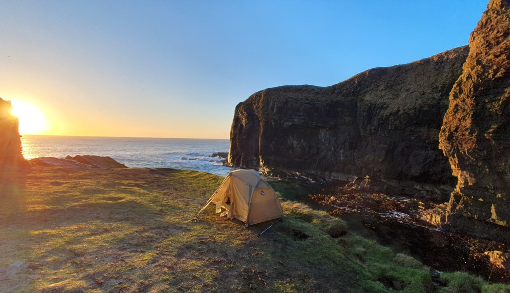
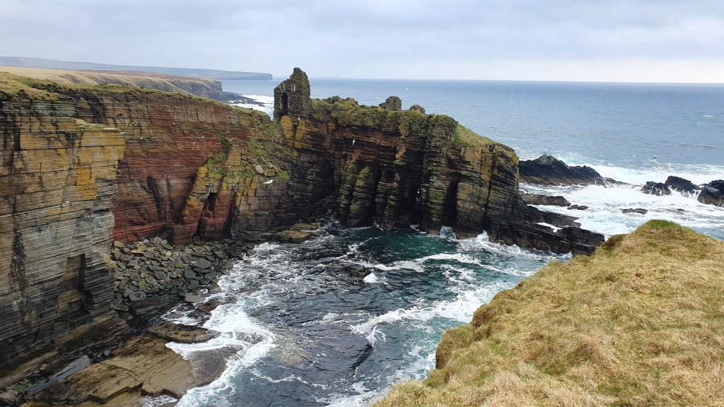
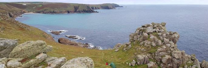
This is a pleasant flat hike along a coastline with plenty of beaches and towns and some beautiful cliff scenery. I have an ascent comparison of trails and this one comes out the flattest by some margin!
Walkhighlands has good descriptions, maps, gpx -splitting the trail into 4 days.
The weather on this coast tends to be drier than say the mountains in the west and it could be a good choice as a first or early backpack, given; the weather, quite a few towns along the way, it’s at sea level and on mostly well signposted trail. It could be possible to hike this through the winter too (if the short days don’t bother you).
Forres to Burghead 20.5km
Burghead to Lossiemouth 14.5km

Lossiemouth to Buckie 25.25km
Buckie to Cullen 12km
Speyside Way 138km
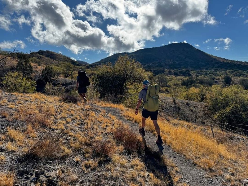
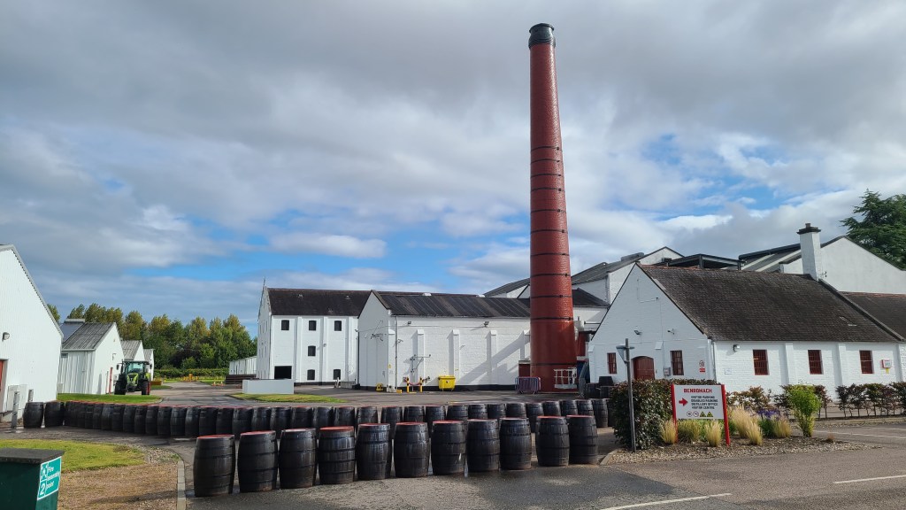
This trail takes you from the Moray Coast in the north roughly following the River Spey to Kingussie. Its very well sign posted and again is a fairly gentle walk with a good well made path. There are loads of whisky distilleries along the way too!
Walkhighlands has good descriptions, maps, gpx -splitting the trail into 8 days.
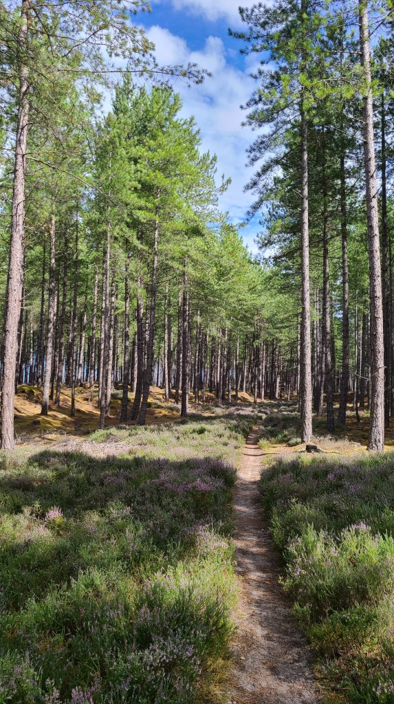
Dava Way 38km
This is a particularly gentle hike as it mostly follows an old railway line connecting the Speyside Way at Granton to the Moray Coast Trail at Forres. We have only done a short part of this route as part of a longer loop hike in the area.
Walkhighlands has good descriptions, maps, gpx -splitting the trail into 3 (short) days.

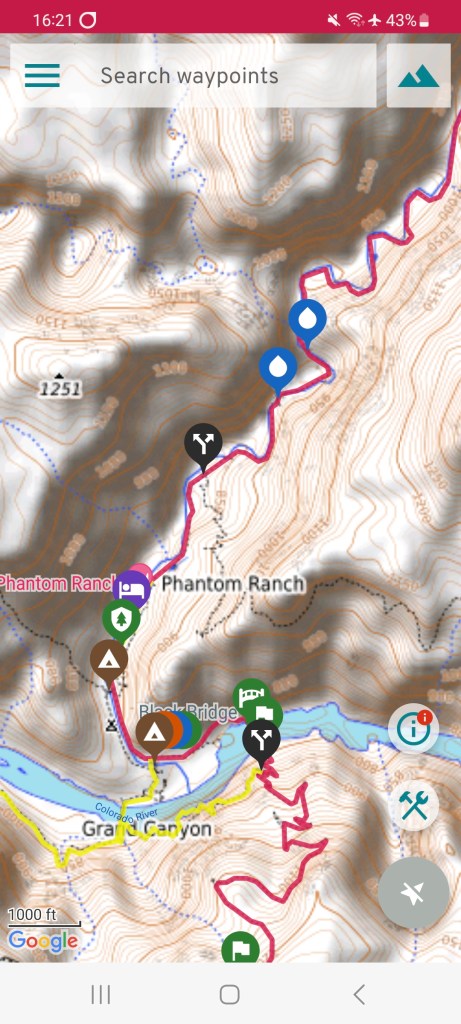
Moray Link about 60km
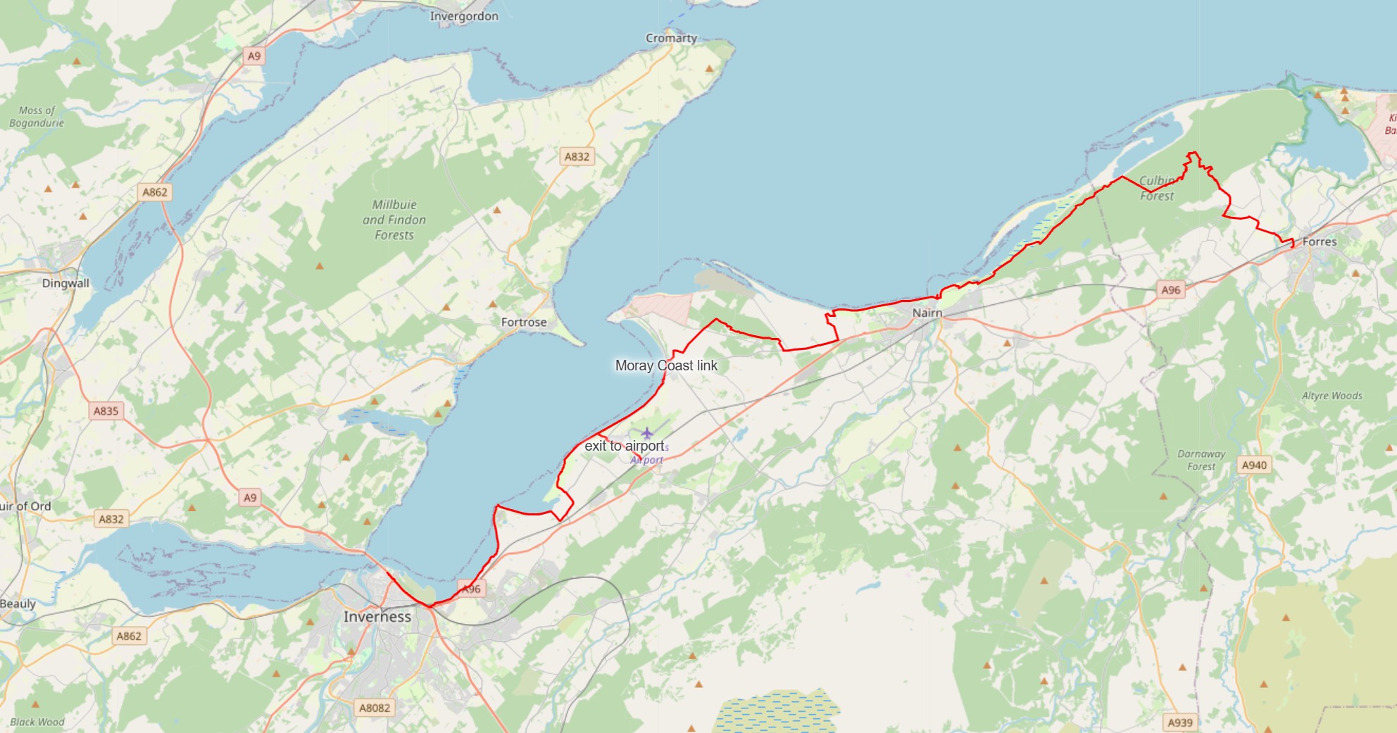
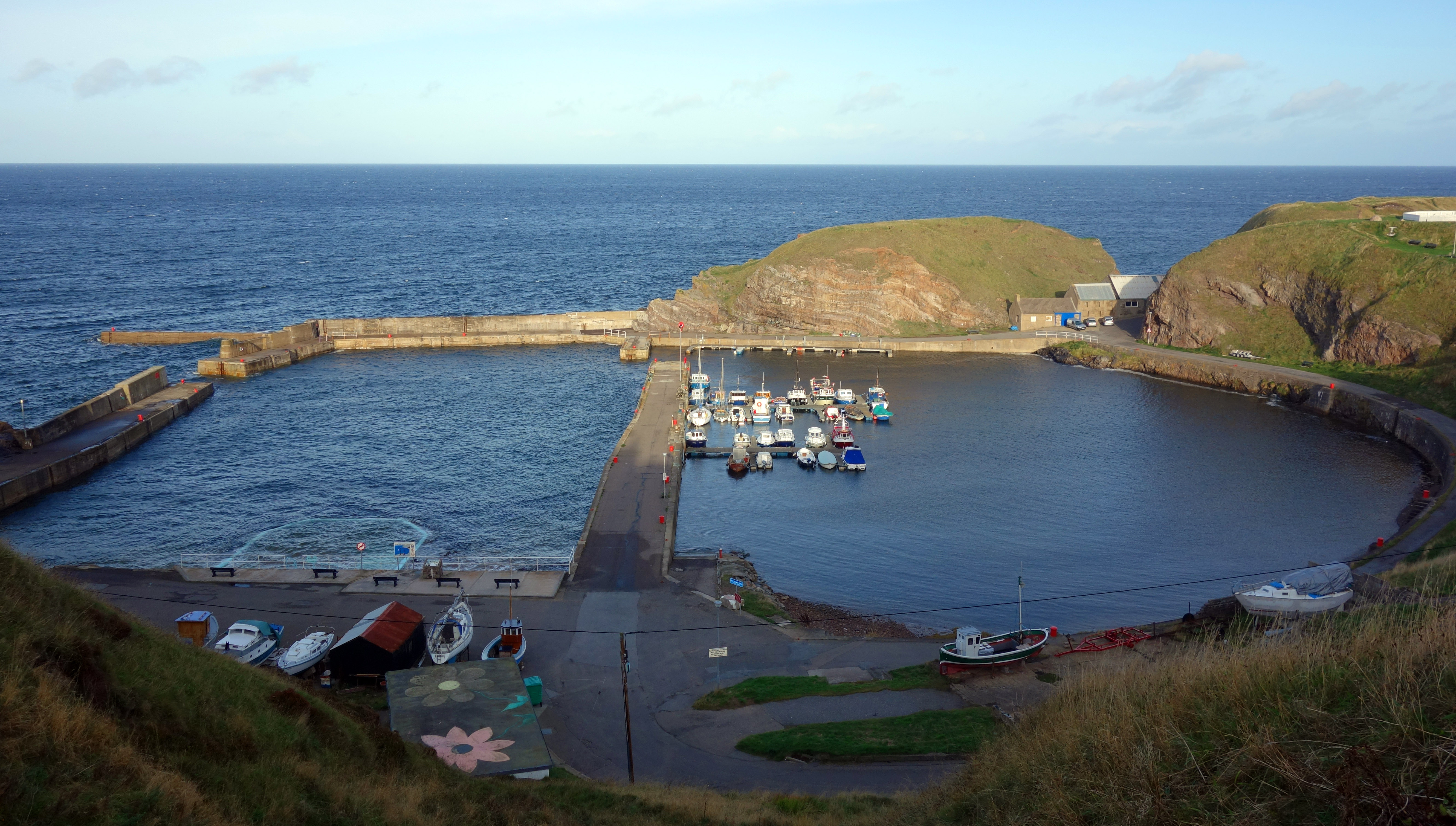
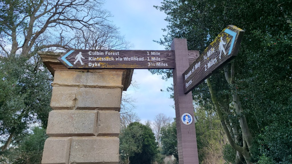
This is an unmarked route following the Moray coast that links the town of Forres to Inverness and thus connecting the Moray Coast Trail and Dava Way up with the John O’ Groats Trail and Great Glen Way/South Loch Ness Trail. I have split the walk into 2 stages below but it could also be done in 3 stages with a break at the village of Ardesier.
Forres to Nairn (about 22.5km)
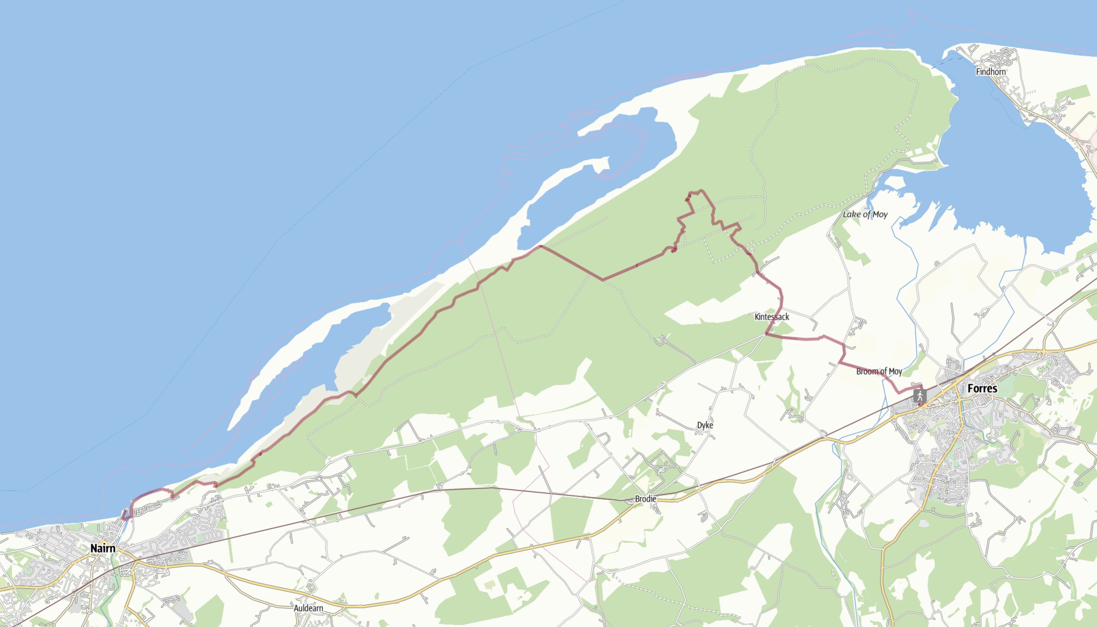
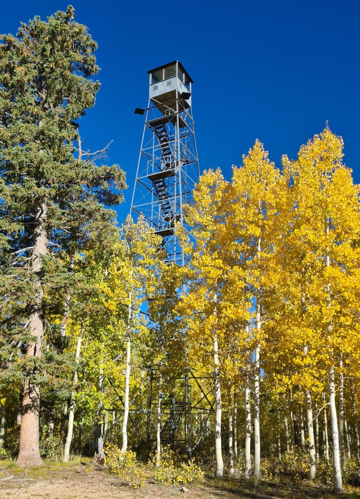
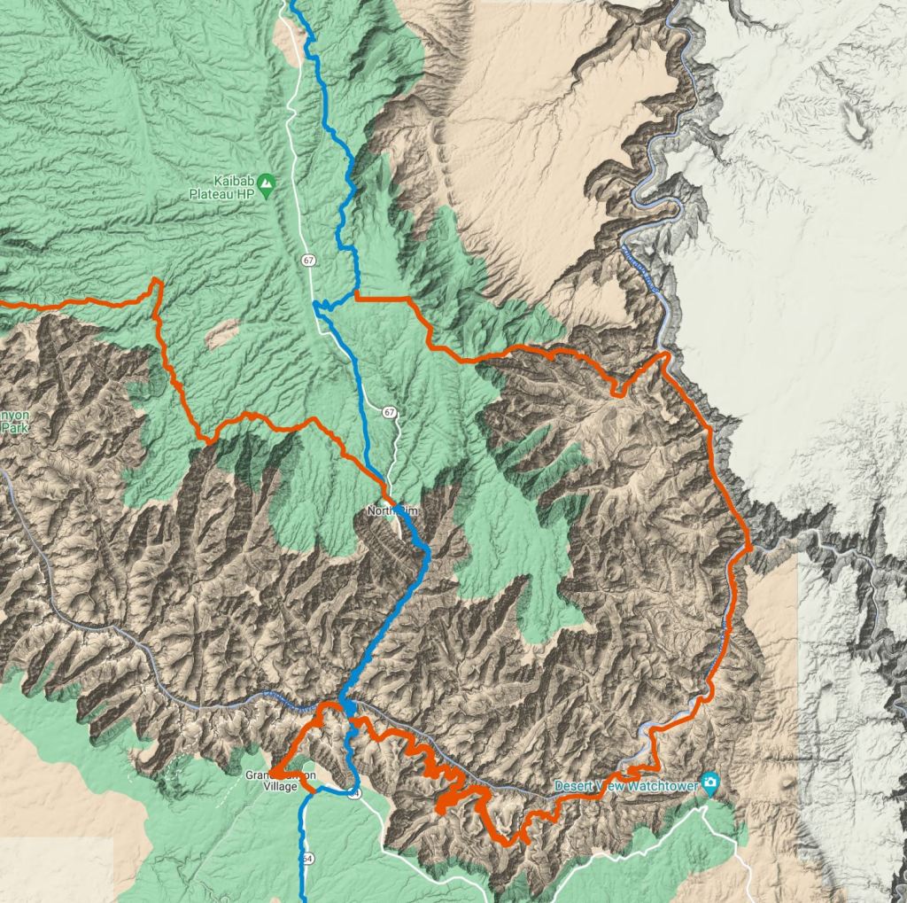
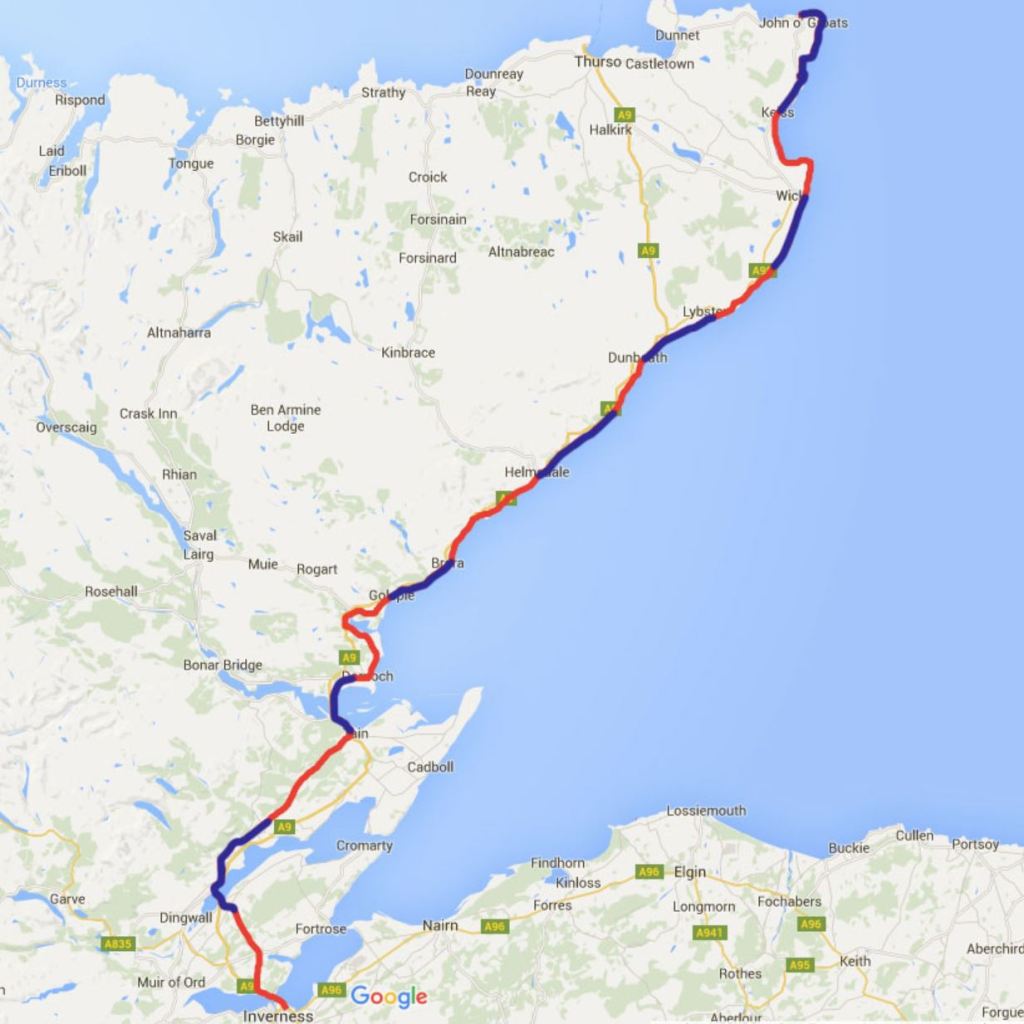
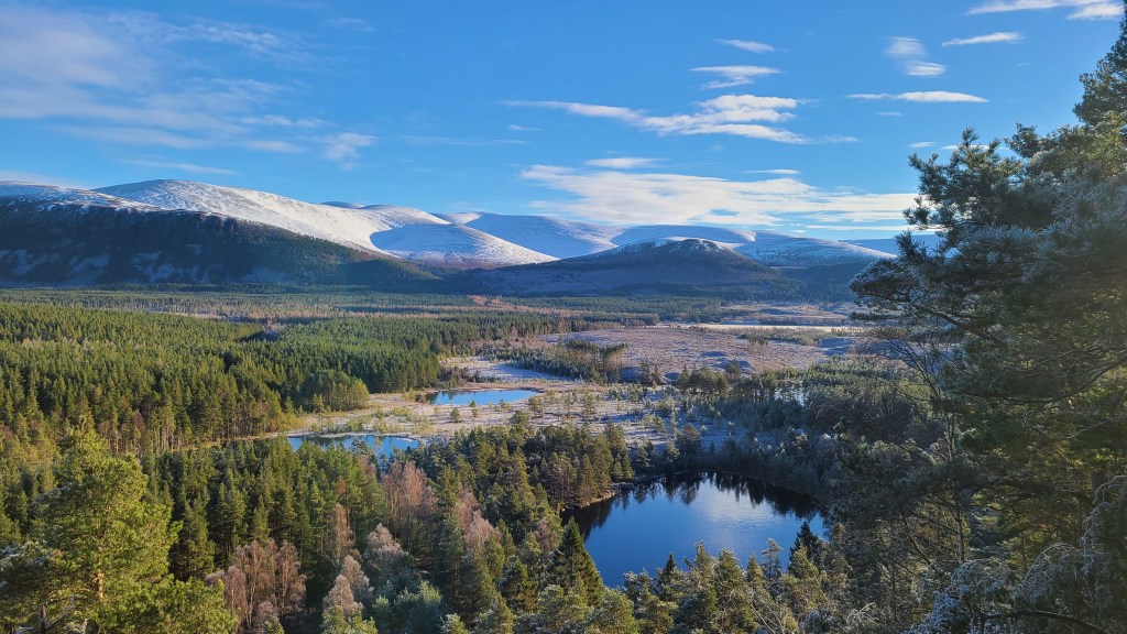
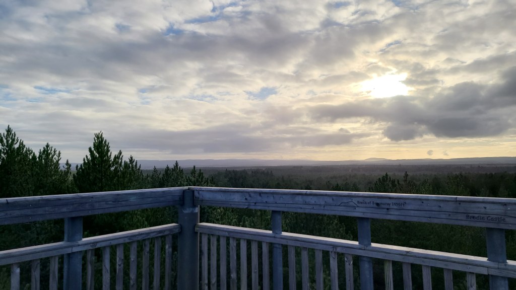
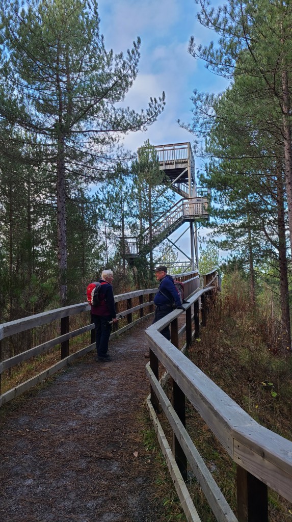
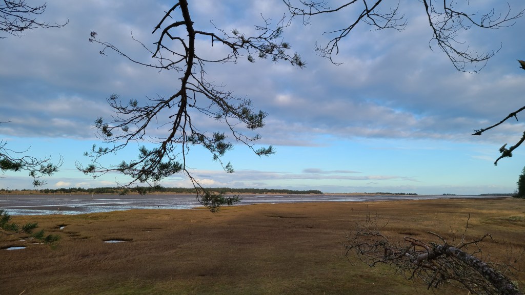
I think this is currently the better of the two stages where you can follow existing trails and forest tracks with some short minor roads. The map above shows the rough route we have taken but other options are available. Of note are the lookout tower in Culbin Forest providing good views above the forest canopy, and the hike along the edge of the saltmarsh in Culbin. Oh also take note that its pretty flat!
There are bus connections between Forres and Nairn.
Nairn to Inverness (about 34km)
This is a longer stage that could easily be split at the coastal town of Ardersier or at Inverness Airport (roughly halfway). There is accomodation and good transport links at both to Inverness, Nairn and beyond.
The route is mostly along the shore or on minor roads but also with occasional pleasant trail. The shore sections mean that it is best done at lowish tides.
The Google Map above shows a possible route Brian hiked and below is more detail for the eastern section between Nairn and Ardersier.
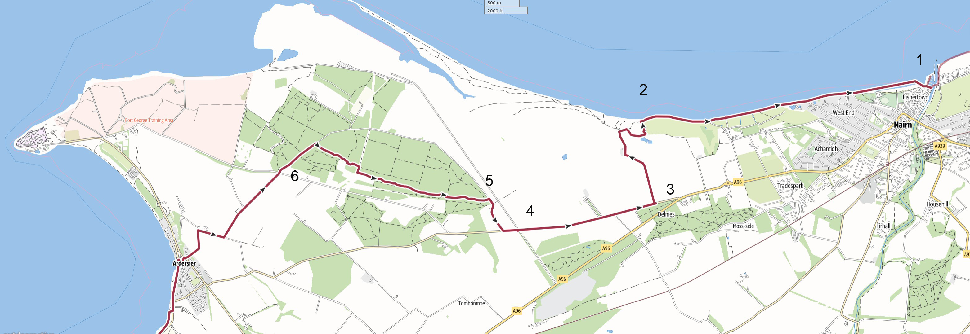
- 1 Nairn You can just walk the pavement west from the harbour. Brian walked the scenic beach along the golf course at the ouskirts of Nairn (but you can probably walk the edge of the golf course on grass at high tides).
- 2 Hilton of Delnies Head inland southwards after the golf course to pick up a narrow vehicle lane to the B9092. Brian’s track here followed a signposted trail around the edge of the course but there may be a more direct way.
- 3 B9092 Brian walked the road for about 2.5km. The traffic was light but fast moving and overall it’s not that great. However a direct hike may be possible between points 2 and 4 on the map through the Carse of Delnies – but I didn’t explore.
- 4 Haventus Port entrance The road going north west from here is fenced off with security so acts as a bit of a barrier to the possible direct hike above- or to going around Fort George. At least I was able to take the next minor road on the right and past the cottage (with Kebbuck standing stone in the garden!).
- 5 Carse Wood Turn left (west) onto nice trails through Carse Wood. I hiked below (north of) the escarpment but it may be possible to hike along the top for a while then drop down.
- 6 Minor lanes into Ardersier
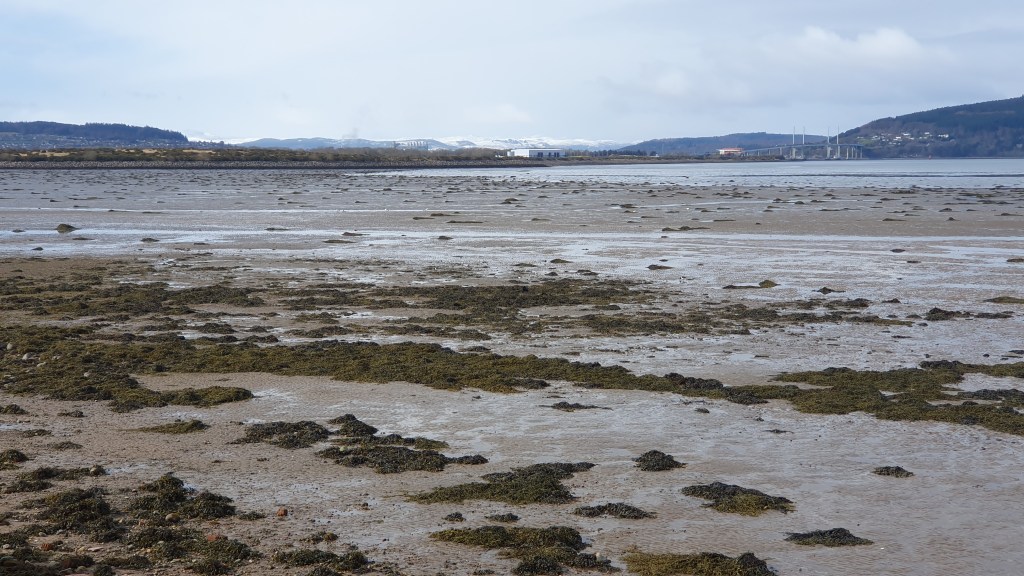
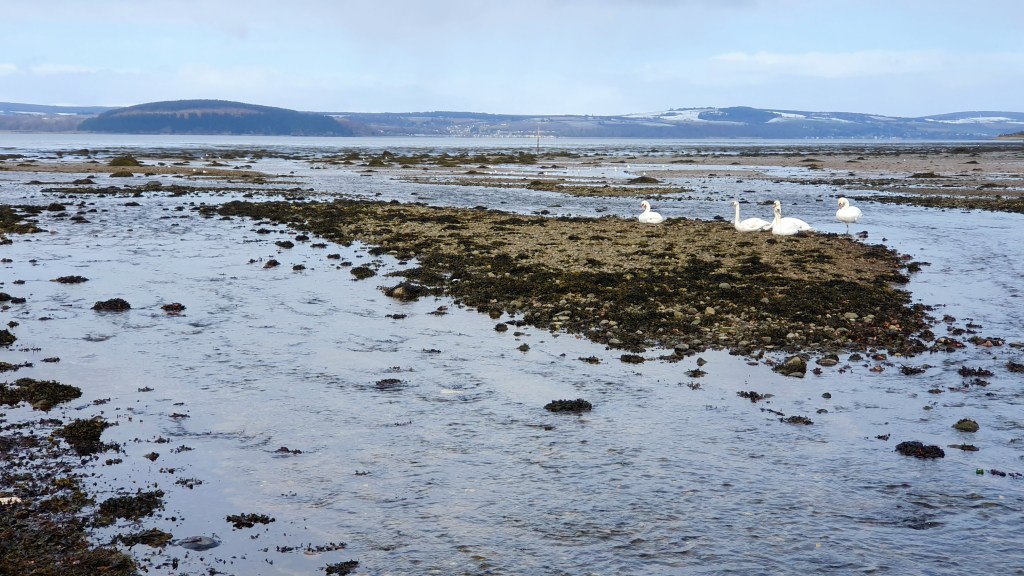
This part of the coast has spacious views across the Moray Firth to the Black Isle in the north and there should be plenty of bird life around.
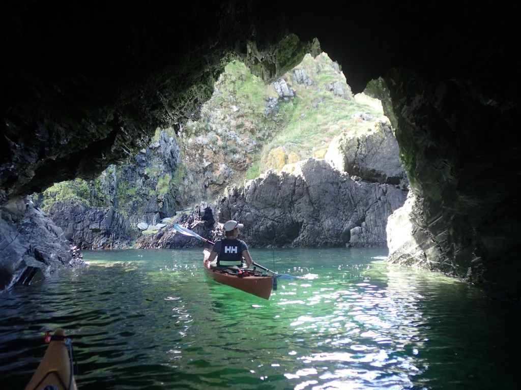
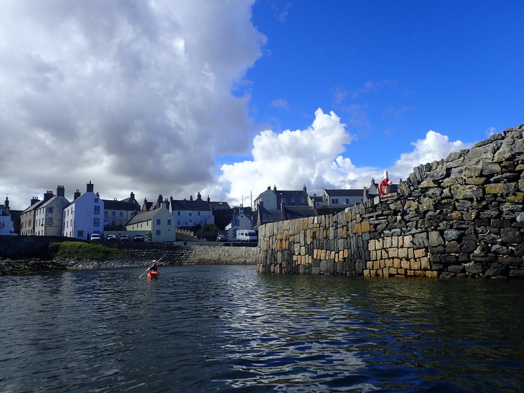
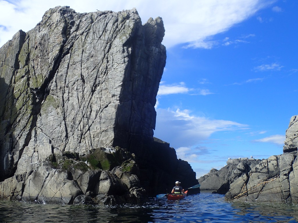
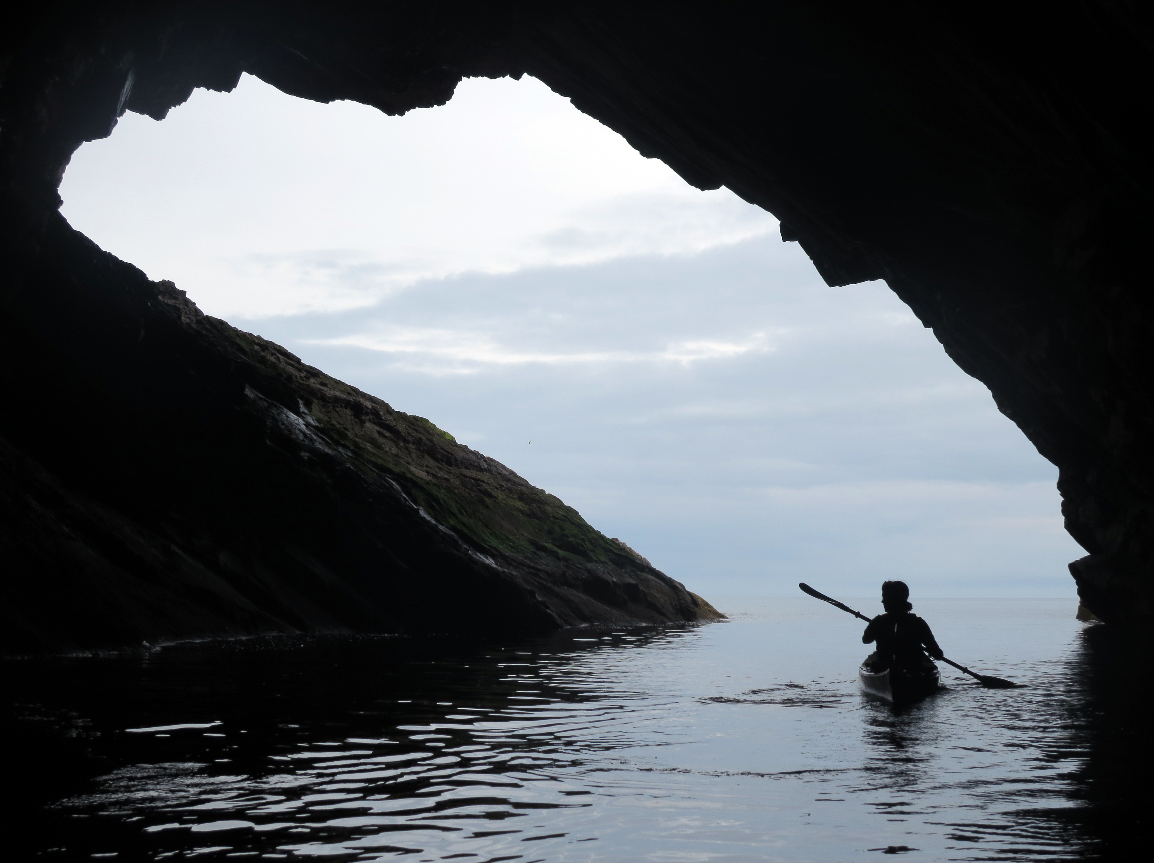
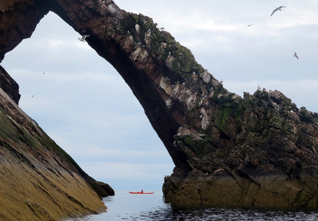
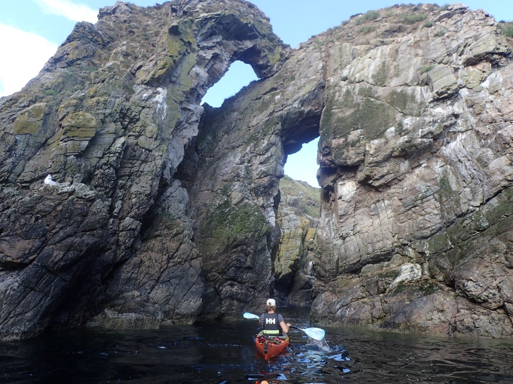
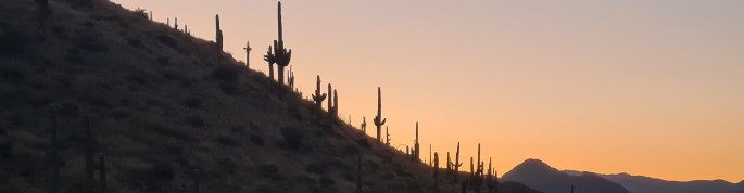
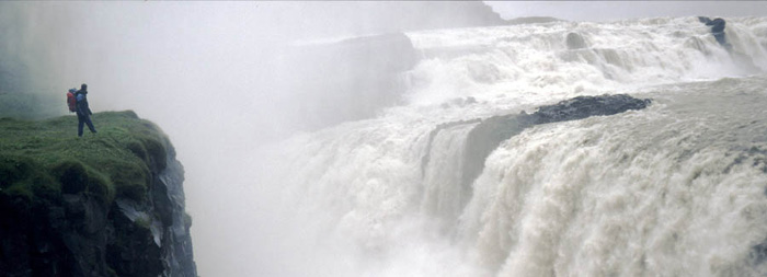
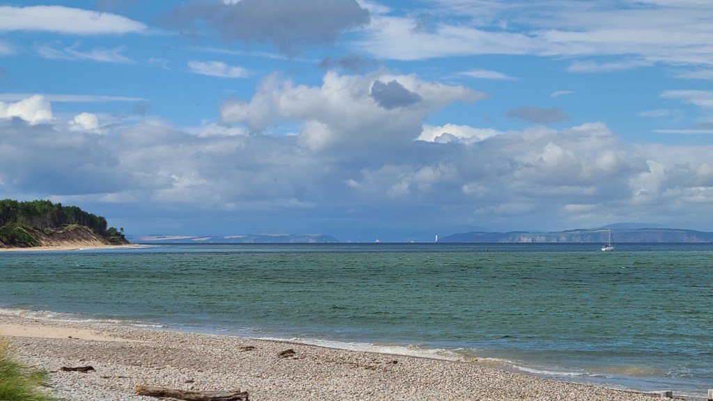
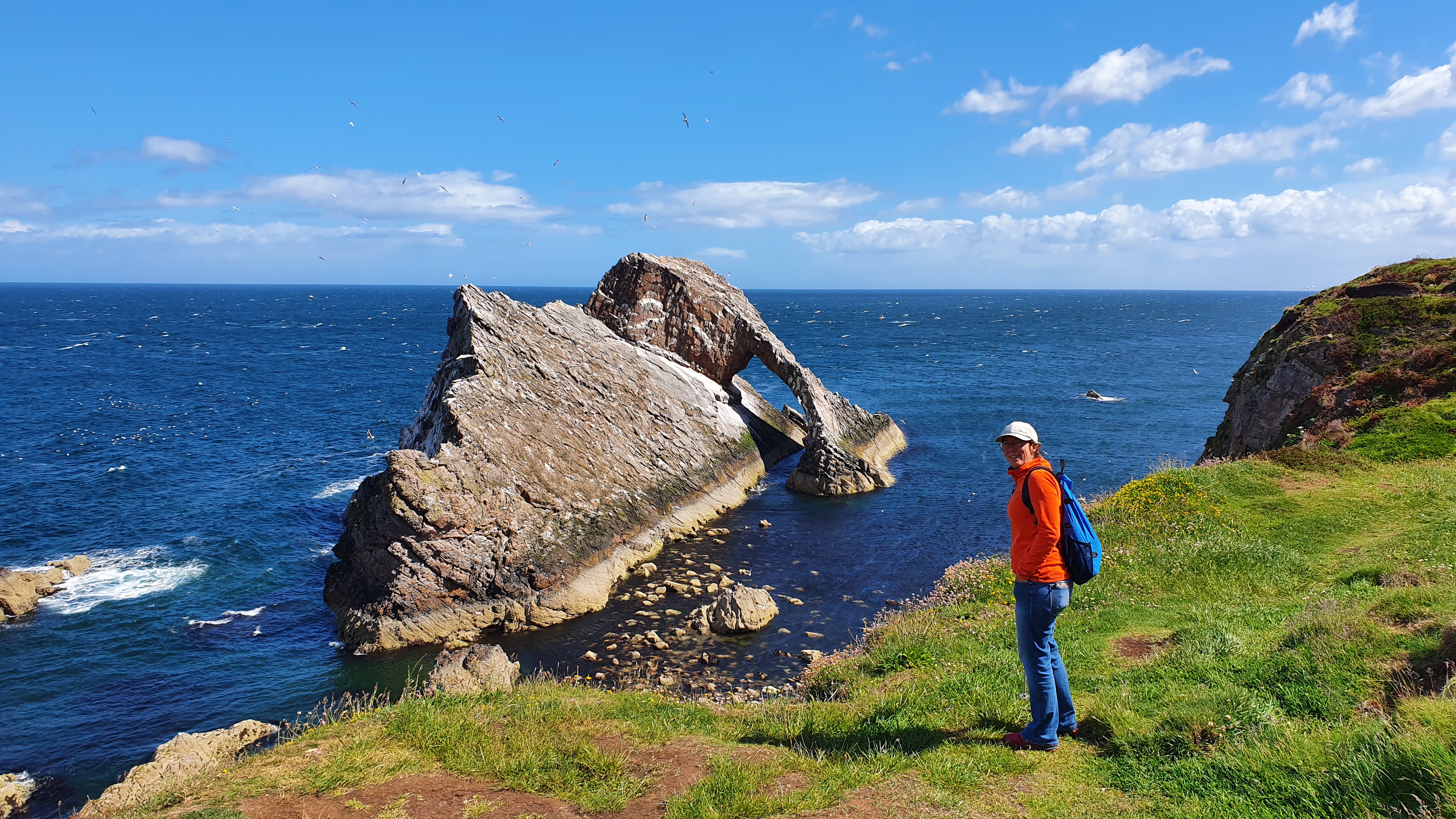
Moray Coast sea kayaking
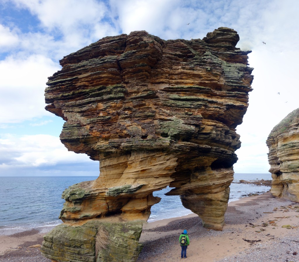
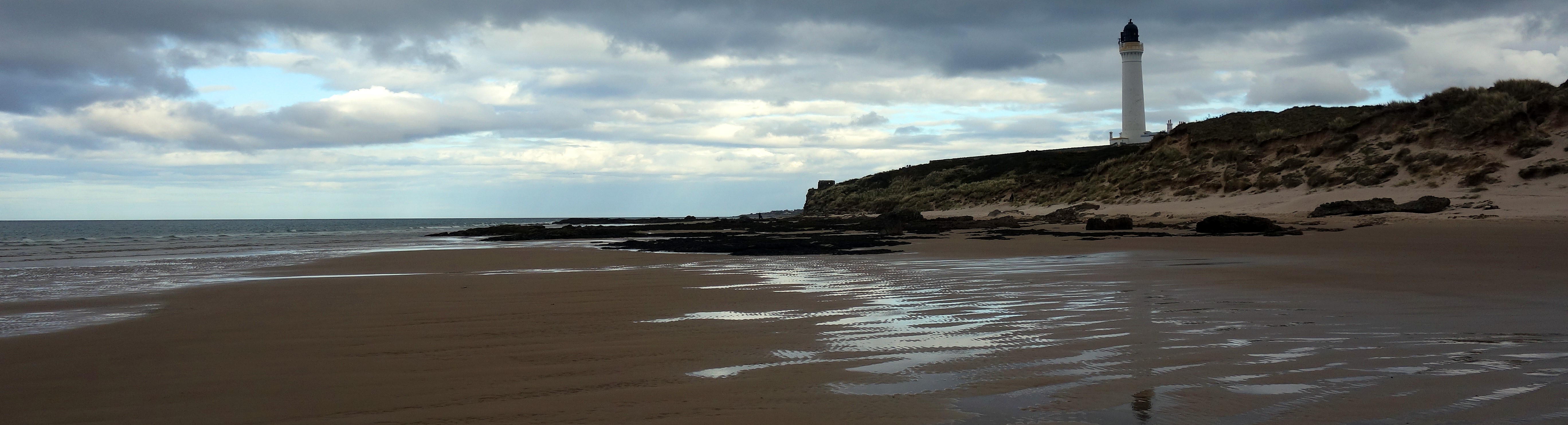
In some ways kayaking along the Moray Coast provides better scenery than the walking trails. The coast has plenty of birdlife, cliffs, cave, arches with a chance of seeing dolphins and whales. Add in some old castles, lighthouses, lovely harbour towns… and its a great kayak destination. The coast is exposed to a north or north east swell so we find it’s best when the swell is down (forecasts at Surfline) and avoiding a north easterly on shore wind allowing us to weave in and out of caves and tunnels.
A great guidebook is North & East Coasts of Scotland Sea Kayaking.