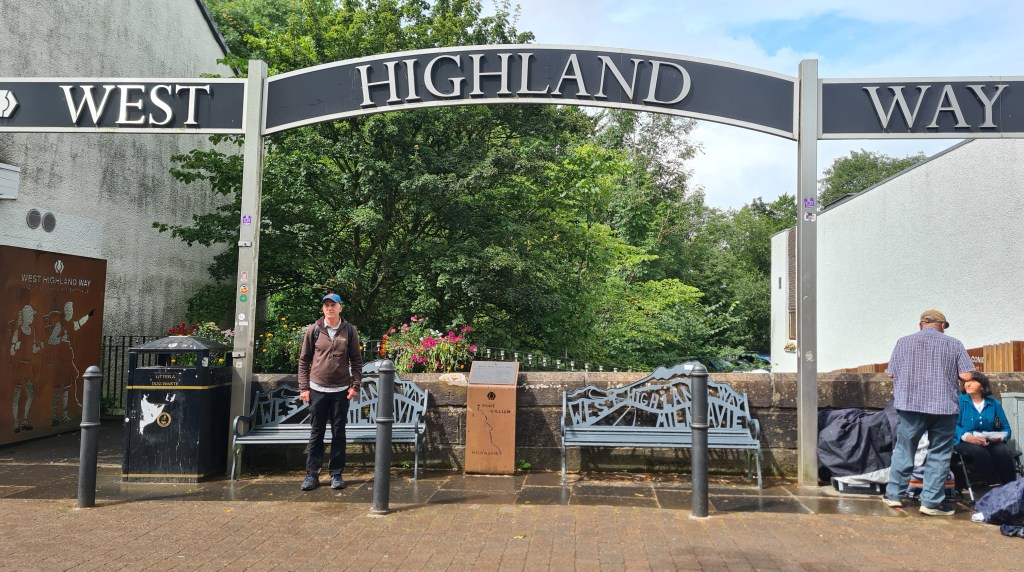
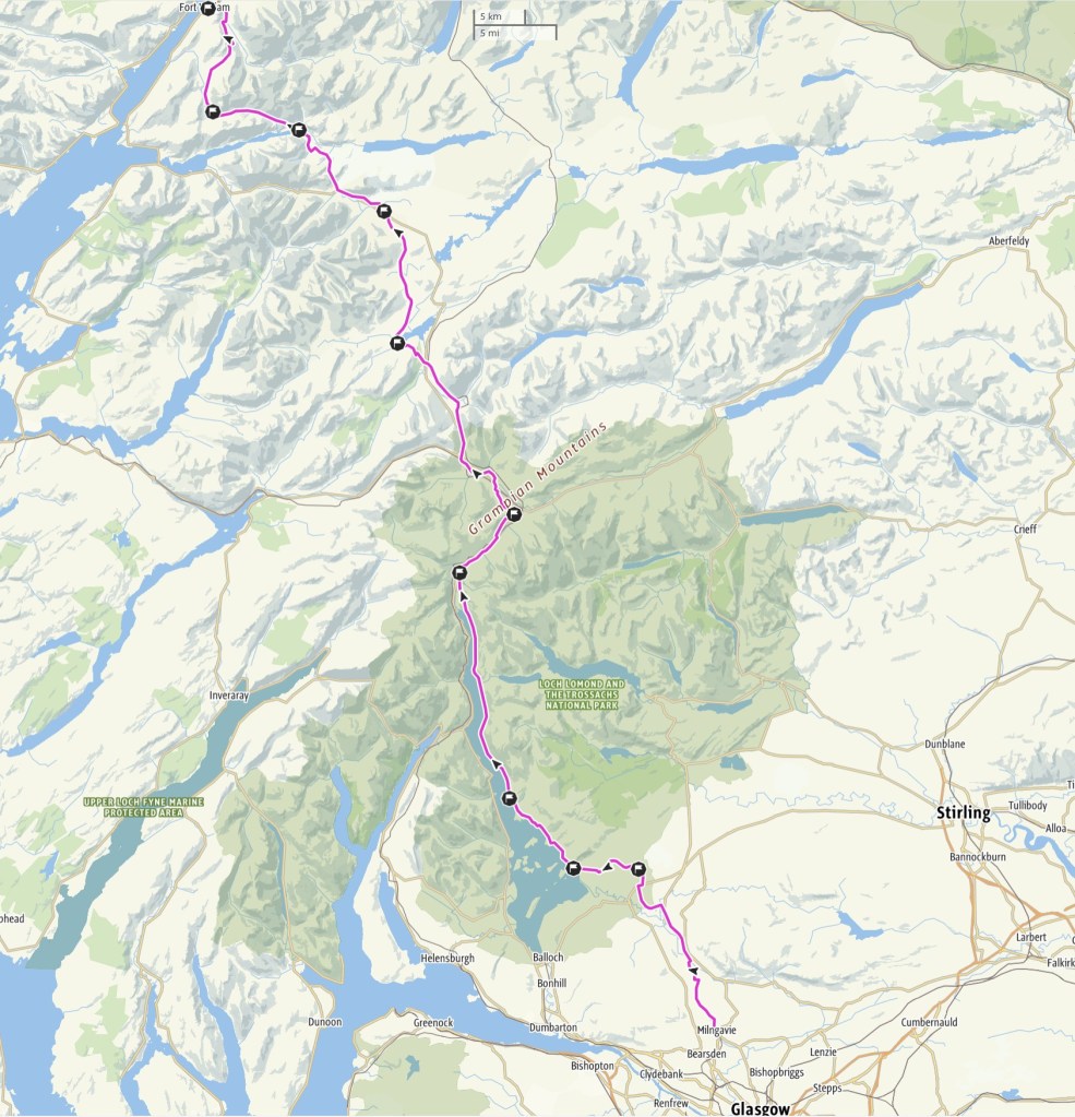
This is Scotland’s most popular and oldest trail, going between Milngavie, on the outskirts of Glasgow, and Fort William for 96 miles. The scenery is grand but fairly familiar to us having hiked and climbed in the area most of our lives, and so up til now we hadn’t thought of doing it. But Brian decided to walk the route in April 2025 backed by an inviting stable weather forecast and the prospect of pre midge season!
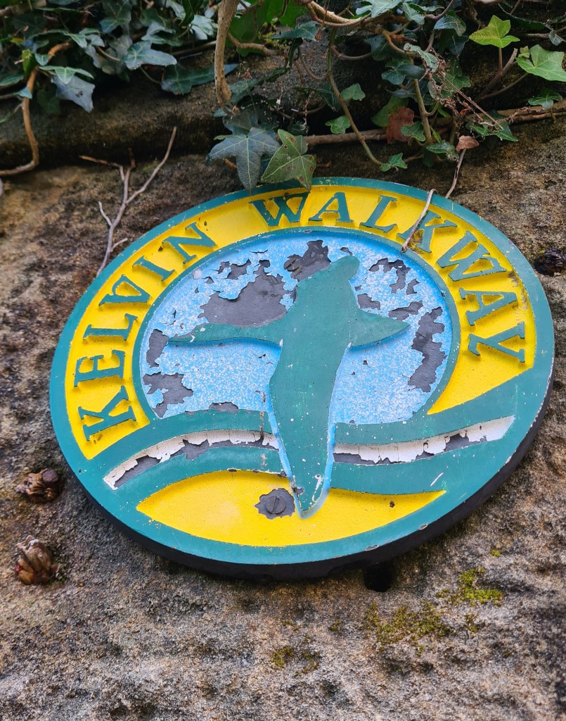
We have also walked the 10 mile Kelvin Walkway which extends the trail south to near the centre of Glasgow.
Day 1 31st March 2025 North from Milngavie


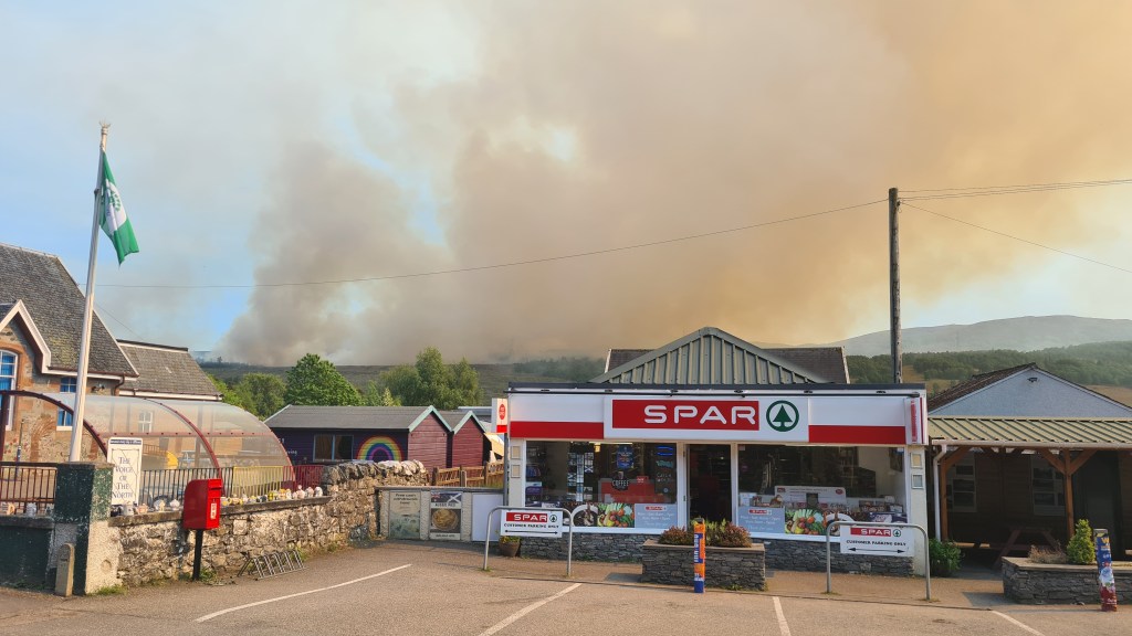
After a train to Glasgow and then Milngavie (pronounced Mil-guy) I set off just after 1pm in coolish (12C), still, cloudy conditions – great for hiking. Most of this first day was on pleasant, packed trails leaving the suburbs northwards and soon passing the Campsie hills.
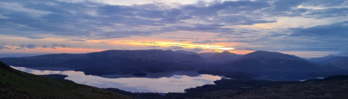
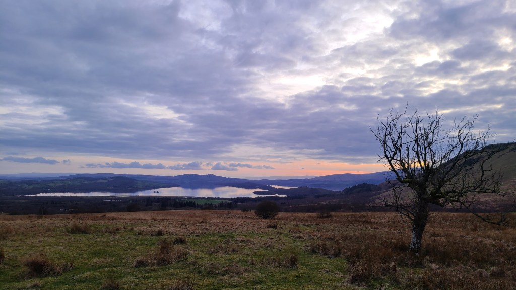
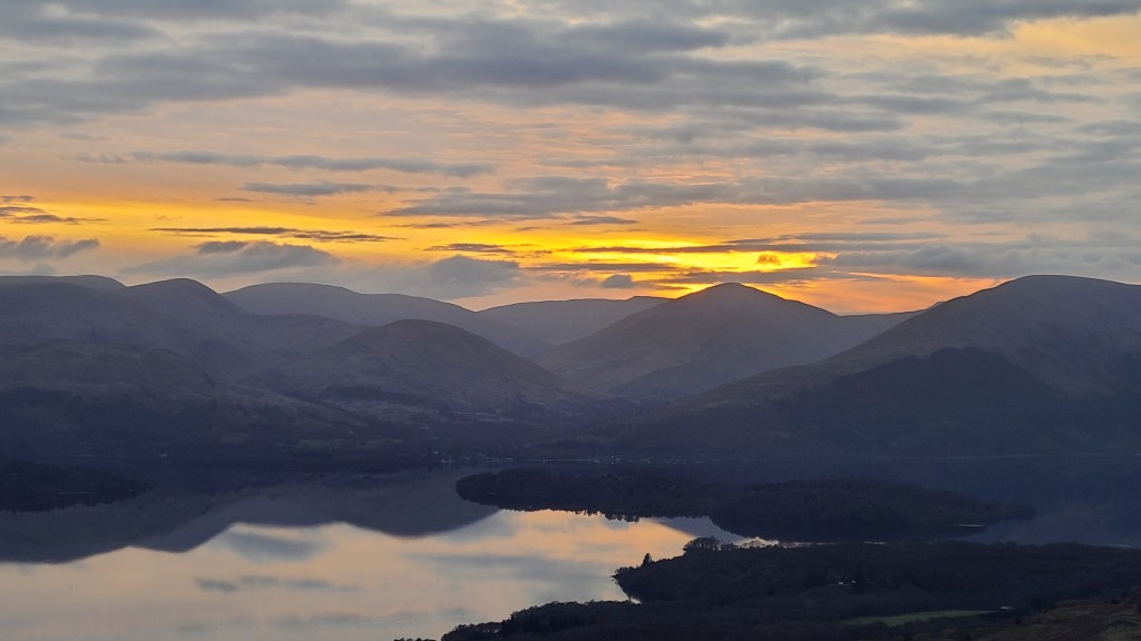
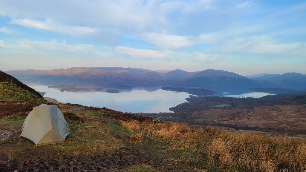
I stopped at the purple ‘Turnip the Beet’ cafe for late lunch of a terrific veggie toasted bagel and saw a handful of hikers in the afternoon, people from the UK and across the world out enjoying themselves. Making it to the first climb in the late evening, I camped after 18 miles at 8pm and dusk on the top of Conic Hill with sunset views over Loch Lomond.
Great camp, with a bonus of no midges ending a nice first day.
Day 2 Loch Lomond
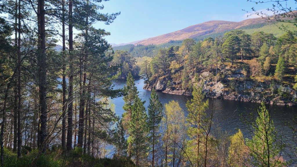
Today was spent hiking up the east side of Loch Lomond, the latter part of which was new to me, and it turned out to be a scenic and varied route.
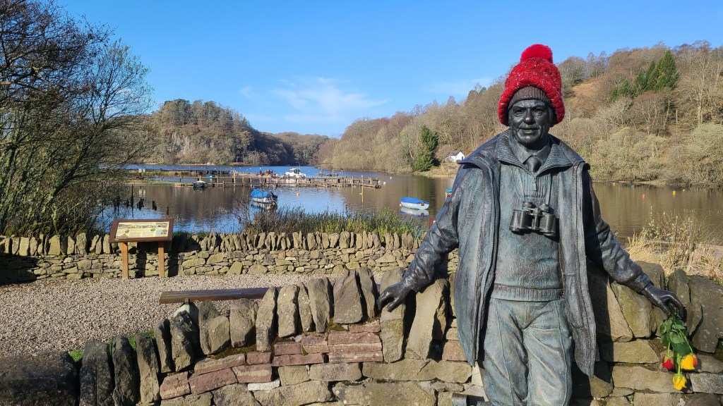
Firstly I dropped down to the settlement of Balmaha, picked up some food at the small shop and had a sit in the early morning sun at the cafe next door.
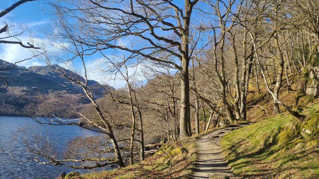
The trail then heads along near the shore of the loch through woodland with cool ever changing views of the loch and the Luss hills across on the west side. I chatted with hikers along the way, eventually reaching Inversnaid Hotel mid afternoon.


There were loads of hikers resting or finishing for the day here (there is a bunkhouse in addition to the hotel) but I headed onwards on a bumbly, rougher trail for maybe 6 miles to the north end of Loch Lomond. This trail has a reputation for being tough but to be honest I enjoyed the route, weaving up and down around boulders and tree roots.
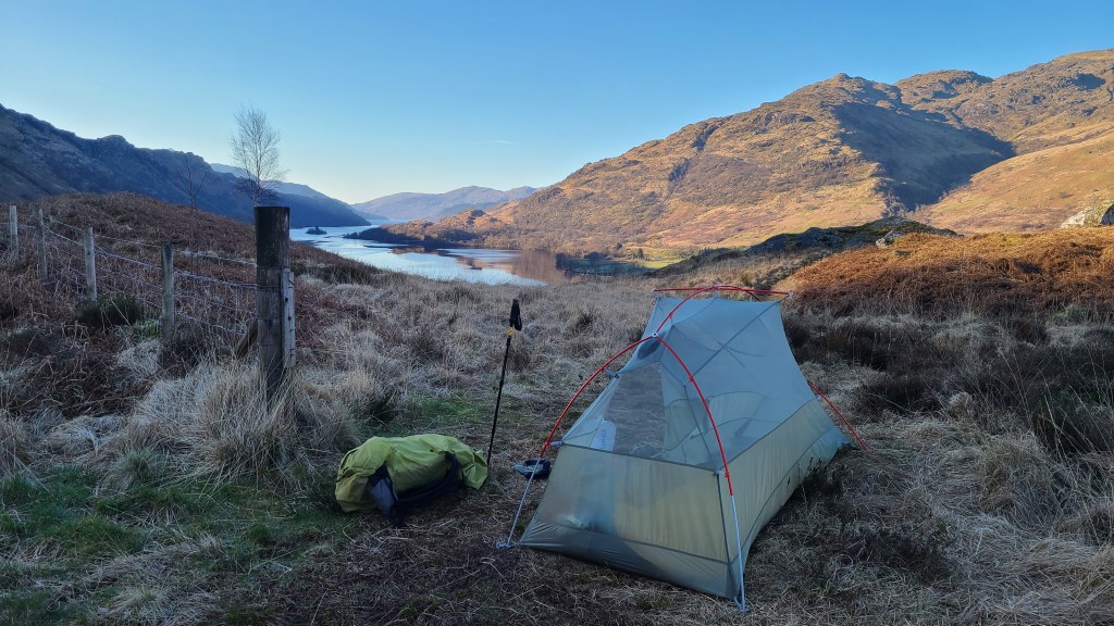
I finished up just at dusk again and lucked out with a tiny spot for the tent on a rise looking back down southwards to Loch Lomond.
Day 3 Past Crainlarich, Tyndrum and Bridge of Orchy
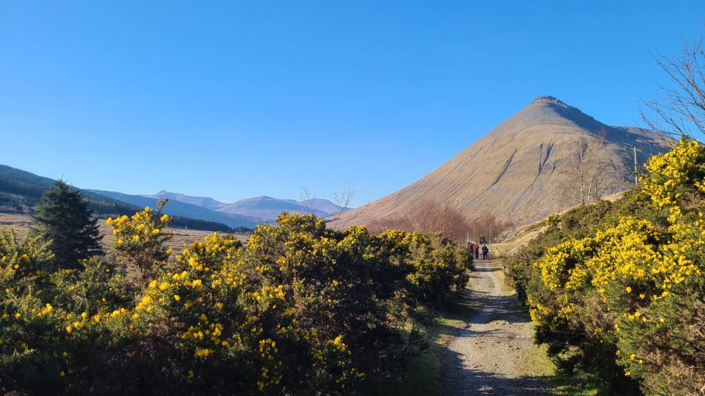
Both nights so far had dipped to freezing with a light frost on the tent, but I awoke to another shiny blue sky day and it soon warmed up. I walked for less than an hour to Inverarnan with Beinglas campsite and a hotel at the nearby A82 road. Another 2nd breakfast- I could get used to this!
This is a common overnight stop and today I counted 50+ people hiking northward from here. I was finding that by wild camping I was a bit ‘out of sync’ with other hikers as most people either stayed in pre booked accomodation at set points along the trail or camped in commercial campsites usually near the accomodation. We definitely prefer wild camping if we can, with the excitement of not knowing where you will find a spot that evening, the chance of camping at the most scenic points, along with the flexibility of not sticking to a fixed itinery.
The trail followed the River Falloch north for a while with lots of rocky waterfalls which would be tempting for a swim in the warmer summer months. Although the A82 main road and railway line took the same glen, it didn’t detract from the pleasant leafy hiking.
I should mention that the WHW is a very clear trail to follow, usually wide and often on hardpacked ground- making for easy walking for most people but I found the hard, flattish terrain a bit sore on the soles of my feet!
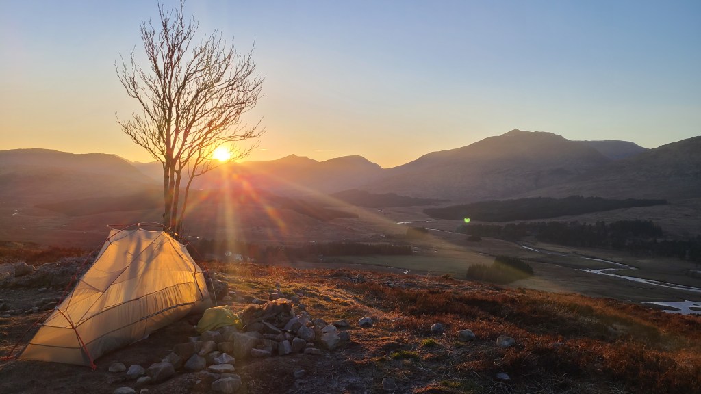
I pushed on further than intended today, past the ‘resupply’ spot at Tyndrum and the hotel at Bridge of Orchy to camp again at dusk at a lovely high point overlooking Loch Tulla and north to the Black Mount hills.
Day 4 Rannoch Moor and Devil’s Staircase to Kinlochleven
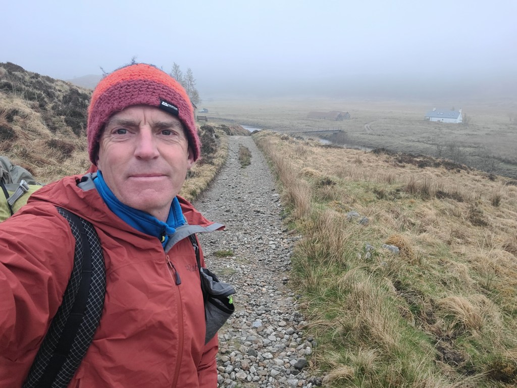
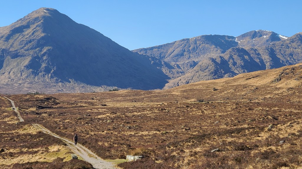
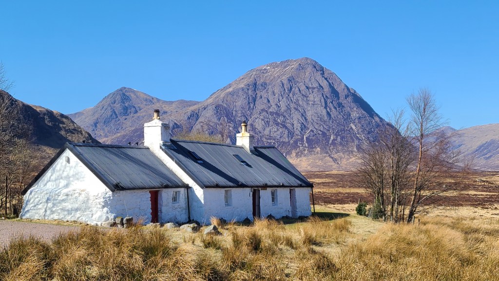
Another sunny day – I was being spoilt! Dropping down to the Inveroran Hotel and some nice riverside campsites at Victoria Bridge, I set off onto an old Military Road across the edge of Rannoch Moor, built in the early 1800’s by Telford. The Moor is a tremendous place of high undulating plateau, with peat bog and lochans, fringed with rugged hills particularly to the west. Today I had clear skies and a cold wind sweeping across which was lovely, but I guess it could get a bit exposed out here in poorer weather.
I deviated a short distance at the northern edge of the moor to Glencoe ski area near Blackrock cottage for a nice lunch and a hot shower- wonderful!
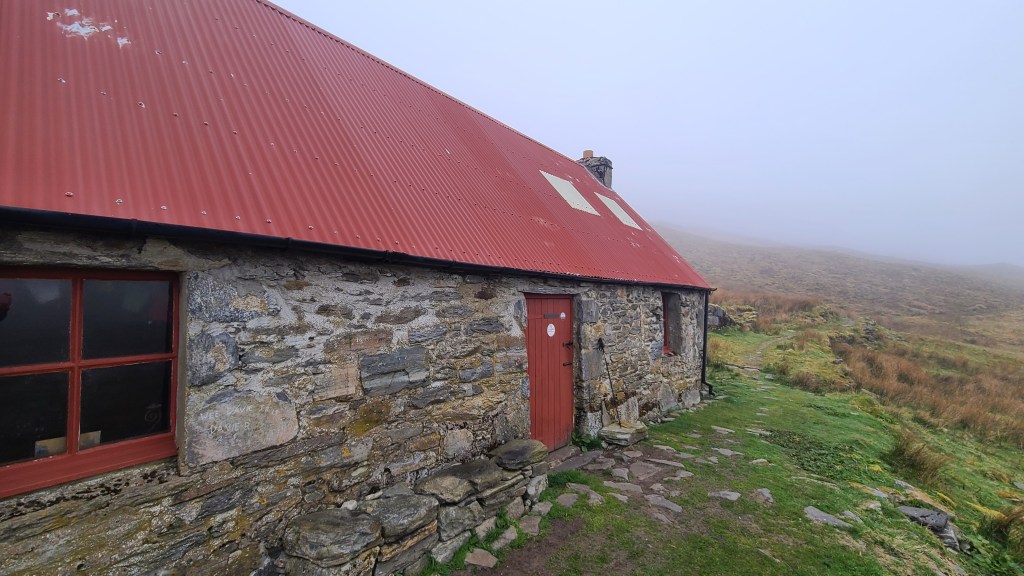
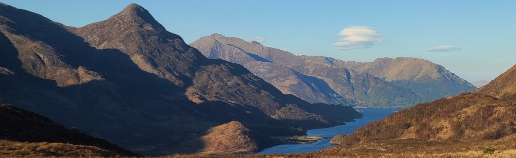
A short climb over the ‘Devil’s Staircase’ gave great views back over the Moor and across to Buachille Etive Mor (scene of many of our scrambling and climbing trips and a favourite hill ) guarding the top of Glen Coe. From there, the trail high point at a modest 548m (the WHW isn’t a mountainous trail!), but it was a long weaving descent down to the village of Kinlochleven for a night at the Blackwater Hostel -recommended.
Day 5 Final day to Fort William
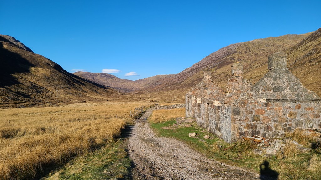
There was a scenic climb first thing from Kinlochleven through woods with views across to Loch Leven and the hills on either side. From there the trail follows a more remote set of glens and with a strong cold wind, it was a time for keeping the head down and just hiking on.
There were some grand views to Ben Nevis (UK’s highest peak) before the descent to Glen Nevis and a rather long 4 miles or so of pavement to the end in the town of Fort William.
I stopped here, but from Fort William there is a network of trails heading north on the Cape Wrath Trail or Great Glen Way-John O’Groats Trail….
Overall I really enjoyed the hike, it was obvious that lots of work goes into maintaing the trail and that is really appreciated. But I imagine it could get really busy from Easter through to October and this would put me off walking at these times a bit. That said, it’s a pleasant introduction to Scottish walking and, with not being very remote and lots of services at hand I can see why it is popular.
References
There is lots of info out there on the WHW:
I loved the Harvey strip map– lightweight, small and pretty much all I needed
Walkhighlands has detailed descriptions, maps, gpx and an app
And the official West Highland Way website
The Kelvin Walkway is a pretty cool short 10 mile extension of the West Highland Way in the south from the River Clyde near the centre of Glasgow.
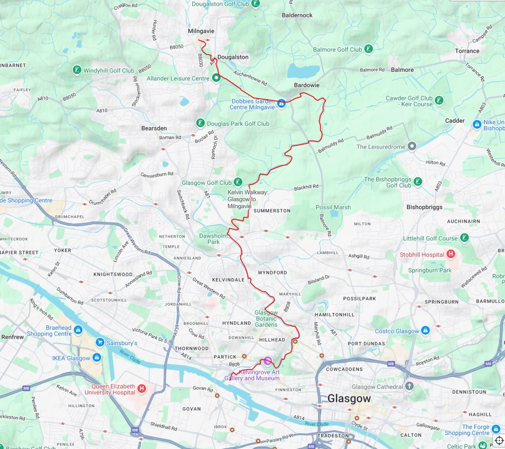
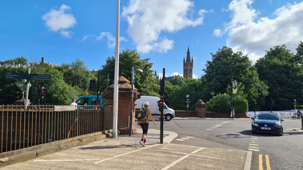
It follows the Kelvin River north from the River Clyde and goes through Glasgow’s west end as it gradually makes its way into the countryside. The walkway ends at Milngavie conveniantly connecting with the southern start of the West Highland Way.
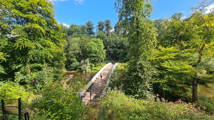
The trail is much less used than the WHW and the riverside path can get a little overgrown in places, but we enjoyed following the river and seeing Glasgow from a different perspective. A nice addition to the West Highland Way.